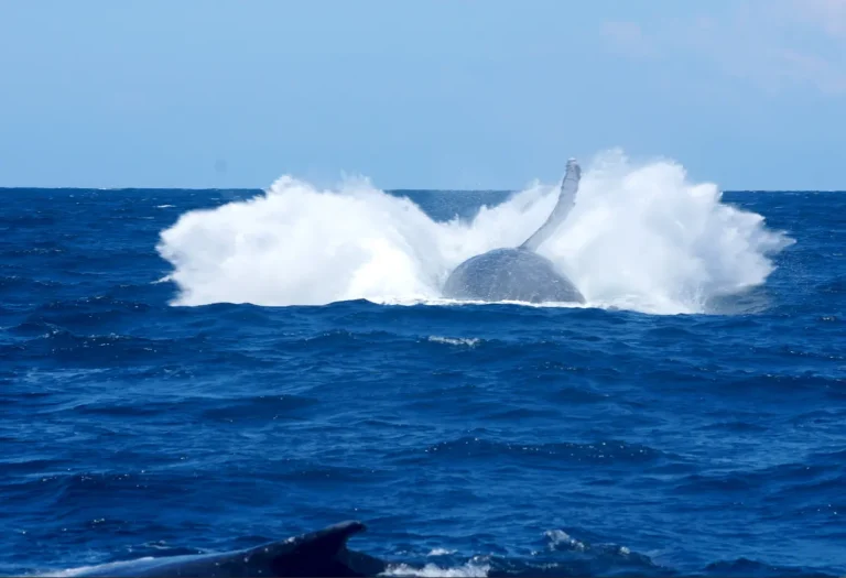
Modern technology has transformed what scientists know about humpback whales.
Today, satellite tracking devices allow marine researchers to monitor whale migration routes across entire oceans, providing extraordinary insights into whale behaviour and movement.
What Is Satellite Tagging?
Satellite tagging involves attaching a small, non-invasive tracking device to a whale for a limited period.
The device sends location data to satellites, allowing researchers to track where whales travel, how quickly they move and how long they remain in certain areas.
These tags have helped scientists better understand:
- Whale migration routes
- Feeding grounds
- Resting behaviour
- Social interactions
- Ocean travel patterns
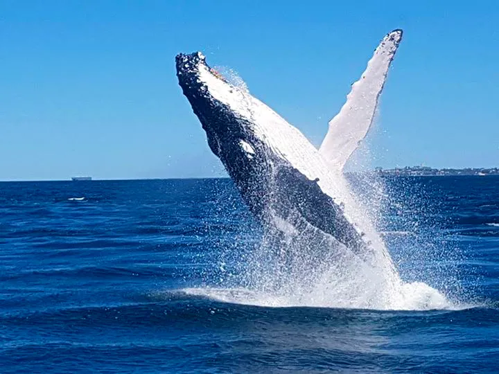
Understanding Whale Dive Behaviour
Some tracking devices also contain time-depth sensors that record:
- Dive depth
- Dive duration
- Surface intervals
- Feeding behaviour
This data helps researchers understand where whales spend their time beneath the ocean surface and how they interact with their environment.
Tracking Humpbacks Along Australia’s East Coast
Satellite research has confirmed that humpback whales travel thousands of kilometres between Antarctica and Queensland every year.
Researchers can now monitor migration timing and identify important marine habitats used during the journey.
This information is critical for marine conservation and helps governments and environmental organisations better protect whale populations.
The Future of Whale Research Technology
As satellite technology continues to improve, scientists are gaining increasingly detailed insights into whale behaviour. Combined with whale watching observations and marine surveys, satellite tracking continues to play a major role in understanding and protecting humpback whales.